[{"name":"Everest Base Camp Trek","duration":14,"image_url":"https:\/\/www.placesnepal.com\/storage\/trip-galleries\/1\/thumb_07fa6c7288d2e823c070e64af8635cd3.webp","offer_price":1260,"url":"https:\/\/www.placesnepal.com\/trip\/everest-base-camp-trek"},{"name":"Manaslu Circuit Trek","duration":12,"image_url":"https:\/\/www.placesnepal.com\/storage\/trip-galleries\/3\/thumb_af31aa9dc6756ba9a9cee02d114eda17.webp","offer_price":980,"url":"https:\/\/www.placesnepal.com\/trip\/manaslu-circuit-trek"},{"name":"Annapurna Circuit Trek","duration":10,"image_url":"https:\/\/www.placesnepal.com\/storage\/trip-galleries\/4\/thumb_a5f24d1188e8d45fed7e7fcbe32b854f.webp","offer_price":820,"url":"https:\/\/www.placesnepal.com\/trip\/annapurna-circuit-trek"},{"name":"Gokyo Lake Trek","duration":10,"image_url":"https:\/\/www.placesnepal.com\/storage\/trip-galleries\/5\/thumb_c0517ff96a95dc1183e5facfcbd7705c.webp","offer_price":1150,"url":"https:\/\/www.placesnepal.com\/trip\/gokyo-lake-trek"},{"name":"Annapurna Base Camp Trek","duration":10,"image_url":"https:\/\/www.placesnepal.com\/storage\/trip-galleries\/6\/thumb_4a1a9da373c04d849c7afd07d675e62d.webp","offer_price":null,"url":"https:\/\/www.placesnepal.com\/trip\/annapurna-base-camp-trek"},{"name":"Short Manaslu Circuit Trek","duration":10,"image_url":"https:\/\/www.placesnepal.com\/storage\/trip-galleries\/7\/thumb_2a266d03099c6e71e4787f28e3a8d06e.webp","offer_price":750,"url":"https:\/\/www.placesnepal.com\/trip\/short-manaslu-circuit-trek"},{"name":"Langtang Valley Trek","duration":8,"image_url":"https:\/\/www.placesnepal.com\/storage\/trip-galleries\/8\/thumb_fa6aa089bd6b5f45934971d44a5ff385.webp","offer_price":590,"url":"https:\/\/www.placesnepal.com\/trip\/langtang-valley-trek"},{"name":"Upper Mustang Trek","duration":14,"image_url":"https:\/\/www.placesnepal.com\/storage\/trip-galleries\/9\/thumb_d9cf7722e6cd6c4f55993cadc16b00b1.webp","offer_price":1800,"url":"https:\/\/www.placesnepal.com\/trip\/upper-mustang-trek"},{"name":"Explore Kathmandu, Experience Nepal: 4N-5D Tour","duration":5,"image_url":"https:\/\/www.placesnepal.com\/storage\/trip-galleries\/10\/thumb_e8d6b9780f61c5603205a886a172929d.webp","offer_price":380,"url":"https:\/\/www.placesnepal.com\/trip\/explore-kathmandu-experience-nepal-4n-5d-tour"},{"name":"Luxury Everest Base Camp Trek with Helicopter Tour","duration":8,"image_url":"https:\/\/www.placesnepal.com\/storage\/trip-galleries\/11\/thumb_ad1a67e45ba80f59e57939d1d1c476c9.webp","offer_price":8500,"url":"https:\/\/www.placesnepal.com\/trip\/luxury-everest-base-camp-trek-with-helicopter-tour"},{"name":"Everest Base Camp Heli Tour with Breakfast at Hotel Everest View","duration":1,"image_url":"https:\/\/www.placesnepal.com\/storage\/trip-galleries\/18\/thumb_e47db26f4b8529a68d3889928f004a84.webp","offer_price":null,"url":"https:\/\/www.placesnepal.com\/trip\/everest-base-camp-heli-tour-with-breakfast-at-hotel-everest-view"},{"name":"Everest Base Camp and Gokyo Lakes Photography Expedition","duration":18,"image_url":"https:\/\/www.placesnepal.com\/storage\/trip-galleries\/19\/thumb_6ad52efeb27cd4989124b54209259416.webp","offer_price":2700,"url":"https:\/\/www.placesnepal.com\/trip\/everest-base-camp-and-gokyo-lakes-photography-expedition"},{"name":"Gokyo Lakes with Everest Base Camp Trek","duration":15,"image_url":"https:\/\/www.placesnepal.com\/storage\/trip-galleries\/20\/thumb_d7adbaaedcd860ce55f79c912dd368f4.webp","offer_price":1350,"url":"https:\/\/www.placesnepal.com\/trip\/gokyo-lakes-with-everest-base-camp-trek"},{"name":"Everest View Panorama Trek","duration":9,"image_url":"https:\/\/www.placesnepal.com\/storage\/trip-galleries\/21\/thumb_a84149f9c550b9f473c90d510995a0d3.webp","offer_price":1070,"url":"https:\/\/www.placesnepal.com\/trip\/everest-view-panorama-trek"},{"name":"Everest Base Camp Trek Helicopter Return","duration":9,"image_url":"https:\/\/www.placesnepal.com\/storage\/trip-galleries\/22\/thumb_1604f403067e1d4210c326e3248367ae.webp","offer_price":1990,"url":"https:\/\/www.placesnepal.com\/trip\/everest-base-camp-trek-helicopter-return"},{"name":"Mardi Himal Trek","duration":5,"image_url":"https:\/\/www.placesnepal.com\/storage\/trip-galleries\/23\/thumb_7f5b69fe94d45c428634000ea38e6c86.webp","offer_price":360,"url":"https:\/\/www.placesnepal.com\/trip\/mardi-himal-trek"},{"name":"Ghorepani Poon Hill Yoga Trek","duration":9,"image_url":"https:\/\/www.placesnepal.com\/storage\/trip-galleries\/25\/thumb_a21e5b150948017bd996a57f4e586be9.webp","offer_price":1750,"url":"https:\/\/www.placesnepal.com\/trip\/ghorepani-poon-hill-yoga-trek"},{"name":"Ghorepani Poon Hill Trek 6 days","duration":6,"image_url":"https:\/\/www.placesnepal.com\/storage\/trip-galleries\/26\/thumb_29a7702ad9f63eca8846c19c07ca35e2.webp","offer_price":520,"url":"https:\/\/www.placesnepal.com\/trip\/ghorepani-poon-hill-trek-6-days"},{"name":"Luxury Pokhara Poon Hill Wellness Trek","duration":13,"image_url":"https:\/\/www.placesnepal.com\/storage\/trip-galleries\/27\/thumb_87e5c2077530a1cce3e635548cb2f069.webp","offer_price":2200,"url":"https:\/\/www.placesnepal.com\/trip\/luxury-pokhara-poon-hill-wellness-trek"},{"name":"Ponker Lake Trek","duration":6,"image_url":"https:\/\/www.placesnepal.com\/storage\/trip-galleries\/28\/thumb_fd7ca4cd48a8c768706c66f0a797159a.webp","offer_price":650,"url":"https:\/\/www.placesnepal.com\/trip\/ponker-lake-trek"},{"name":"Kathmandu City Tour","duration":1,"image_url":"https:\/\/www.placesnepal.com\/storage\/trip-galleries\/32\/thumb_72e42fabe459489d9f4cfae283240b8e.webp","offer_price":80,"url":"https:\/\/www.placesnepal.com\/trip\/kathmandu-city-tour"},{"name":"Seven UNESCO World Heritage of Kathmandu Valley","duration":1,"image_url":"https:\/\/www.placesnepal.com\/storage\/trip-galleries\/33\/thumb_128ebc2340ec859f39bebc75d091f76a.webp","offer_price":100,"url":"https:\/\/www.placesnepal.com\/trip\/seven-unesco-world-heritage-of-kathmandu-valley"},{"name":"Kanchenjunga Circuit Trek","duration":17,"image_url":"https:\/\/www.placesnepal.com\/storage\/trip-galleries\/34\/thumb_b4eb3ef76af97af27db134d6f37cdf76.webp","offer_price":null,"url":"https:\/\/www.placesnepal.com\/trip\/kanchenjunga-circuit-trek"},{"name":"Shey Phoksundo Lake Trek","duration":11,"image_url":"https:\/\/www.placesnepal.com\/storage\/trip-galleries\/35\/thumb_10ed49f64ee4c8eab489dd0ce9db1d5a.webp","offer_price":null,"url":"https:\/\/www.placesnepal.com\/trip\/shey-phoksundo-lake-trek"},{"name":"Upper Mustang Jeep Tour","duration":10,"image_url":"https:\/\/www.placesnepal.com\/storage\/trip-galleries\/36\/thumb_9786c41ce11e9a2de34ae98b4060376a.webp","offer_price":2800,"url":"https:\/\/www.placesnepal.com\/trip\/upper-mustang-jeep-tour"},{"name":"Tsum Valley with Ganesh Himal Base Camp Trek","duration":15,"image_url":"https:\/\/www.placesnepal.com\/storage\/trip-galleries\/37\/thumb_5e62af344847e16dea9a3846f21cba3c.webp","offer_price":1250,"url":"https:\/\/www.placesnepal.com\/trip\/tsum-valley-with-ganesh-himal-base-camp-trek"},{"name":"Nar Phu Valley Trek","duration":13,"image_url":"https:\/\/www.placesnepal.com\/storage\/trip-galleries\/40\/thumb_690b852b598dc6d8abbad7b578a948c1.webp","offer_price":995,"url":"https:\/\/www.placesnepal.com\/trip\/nar-phu-valley-trek"},{"name":"Island Peak Climbing","duration":16,"image_url":"https:\/\/www.placesnepal.com\/storage\/trip-galleries\/41\/thumb_0e2be3132cd077c5810cc3772117a6a1.webp","offer_price":3000,"url":"https:\/\/www.placesnepal.com\/trip\/island-peak-climbing"},{"name":"Mera Peak Climbing","duration":17,"image_url":"https:\/\/www.placesnepal.com\/storage\/trip-galleries\/42\/thumb_ffbdf4cb7553618e0c299347bb94a1a3.webp","offer_price":3000,"url":"https:\/\/www.placesnepal.com\/trip\/mera-peak-climbing"},{"name":"Tilicho Lake Trek","duration":7,"image_url":"https:\/\/www.placesnepal.com\/storage\/trip-galleries\/44\/thumb_00829c52fc1a0ac8235e9d6480422529.webp","offer_price":750,"url":"https:\/\/www.placesnepal.com\/trip\/tilicho-lake-trek"},{"name":"Khopra Danda Trek","duration":11,"image_url":"https:\/\/www.placesnepal.com\/storage\/trip-galleries\/45\/thumb_f78644c6e0d26160ab8f442fa8142ee2.webp","offer_price":850,"url":"https:\/\/www.placesnepal.com\/trip\/khopra-danda-trek"},{"name":"Short Annapurna Base Camp Trek","duration":6,"image_url":"https:\/\/www.placesnepal.com\/storage\/trip-galleries\/46\/thumb_918e01ea6dd5f42cef723d1eff863533.webp","offer_price":350,"url":"https:\/\/www.placesnepal.com\/trip\/short-annapurna-base-camp-trek"},{"name":"Tsum Valley with Manaslu Circuit Trek","duration":17,"image_url":"https:\/\/www.placesnepal.com\/storage\/trip-galleries\/47\/thumb_0346f90b1beb24c9da3d3da427dc1036.webp","offer_price":null,"url":"https:\/\/www.placesnepal.com\/trip\/tsum-valley-with-manaslu-circuit-trek"},{"name":"Tsum Valley Trek","duration":13,"image_url":"https:\/\/www.placesnepal.com\/storage\/trip-galleries\/48\/thumb_4ca9032472c317e78d94821b9c406b1b.webp","offer_price":1150,"url":"https:\/\/www.placesnepal.com\/trip\/tsum-valley-trek"},{"name":"Renjo La Pass Trek with Gokyo Lake","duration":15,"image_url":"https:\/\/www.placesnepal.com\/storage\/trip-galleries\/49\/thumb_d710a9d6bac1ec8f1066abe564dddf4f.webp","offer_price":1550,"url":"https:\/\/www.placesnepal.com\/trip\/renjo-la-pass-trek-with-gokyo-lake"},{"name":"Pikey Peak Trek","duration":6,"image_url":"https:\/\/www.placesnepal.com\/storage\/trip-galleries\/50\/thumb_f5b672d5e0590443a95dee71b86f88a0.webp","offer_price":420,"url":"https:\/\/www.placesnepal.com\/trip\/pikey-peak-trek"},{"name":"Everest Base Camp Trek by Road","duration":15,"image_url":"https:\/\/www.placesnepal.com\/storage\/trip-galleries\/51\/thumb_7fb1c8c615fd6386948e7be8af2950b0.webp","offer_price":1350,"url":"https:\/\/www.placesnepal.com\/trip\/everest-base-camp-trek-by-road"},{"name":"Short Everest Base Camp Trek","duration":12,"image_url":"https:\/\/www.placesnepal.com\/storage\/trip-galleries\/53\/thumb_f670cd96e9bad10d1e08d287becaefa6.webp","offer_price":950,"url":"https:\/\/www.placesnepal.com\/trip\/short-everest-base-camp-trek"},{"name":"Everest Three Passes Trek","duration":17,"image_url":"https:\/\/www.placesnepal.com\/storage\/trip-galleries\/54\/thumb_6966bb3e99cdfc8a3e8454103aa92bdf.webp","offer_price":1550,"url":"https:\/\/www.placesnepal.com\/trip\/everest-three-passes-trek"},{"name":"Makalu Base Camp Trek","duration":18,"image_url":"https:\/\/www.placesnepal.com\/storage\/trip-galleries\/55\/thumb_aee15fe18511ff233e2dec5413358299.webp","offer_price":null,"url":"https:\/\/www.placesnepal.com\/trip\/makalu-base-camp-trek"},{"name":"Short Annapurna Base Camp Trek: 5 Days","duration":5,"image_url":"https:\/\/www.placesnepal.com\/storage\/trip-galleries\/56\/thumb_7c99271c327b5e3cb21fb6cbcb0c01aa.webp","offer_price":250,"url":"https:\/\/www.placesnepal.com\/trip\/short-annapurna-base-camp-trek-5-days"},{"name":"Pikey Peak Trek : 4 Days","duration":4,"image_url":"https:\/\/www.placesnepal.com\/storage\/trip-galleries\/57\/thumb_44b9a91d2508cf9049f79f126f23206c.webp","offer_price":null,"url":"https:\/\/www.placesnepal.com\/trip\/pikey-peak-trek-4-days"},{"name":"Kanchenjunga South Base Camp Trek","duration":9,"image_url":"https:\/\/www.placesnepal.com\/storage\/trip-galleries\/58\/thumb_39cc387cf5b432e44c57016d2cc71941.webp","offer_price":1350,"url":"https:\/\/www.placesnepal.com\/trip\/kanchenjunga-south-base-camp-trek"},{"name":"Api Himal Base Camp Trek","duration":11,"image_url":"https:\/\/www.placesnepal.com\/storage\/trip-galleries\/59\/thumb_d35ecbc8c01fcd60cf5b40244ef86aeb.webp","offer_price":1800,"url":"https:\/\/www.placesnepal.com\/trip\/api-himal-base-camp-trek"},{"name":"Upper Dolpo Circuit Trek","duration":24,"image_url":"https:\/\/www.placesnepal.com\/storage\/trip-galleries\/60\/thumb_decd04554bbcec568ae040a1e29ef1e7.webp","offer_price":4400,"url":"https:\/\/www.placesnepal.com\/trip\/upper-dolpo-circuit-trek"},{"name":"Annapurna North Base Camp Trek","duration":12,"image_url":"https:\/\/www.placesnepal.com\/storage\/trip-galleries\/61\/thumb_3bcbcbcf5616c13ecc828a294b6b0332.webp","offer_price":1550,"url":"https:\/\/www.placesnepal.com\/trip\/annapurna-north-base-camp-trek"},{"name":"Annapurna Circuit Mountain Biking From Kathmandu","duration":17,"image_url":"https:\/\/www.placesnepal.com\/storage\/trip-galleries\/62\/thumb_4e5f2645c902e2f034560bb59322ccdb.webp","offer_price":3200,"url":"https:\/\/www.placesnepal.com\/trip\/annapurna-circuit-mountain-biking-from-kathmandu"},{"name":"Annapurna Circuit Mountain Biking","duration":12,"image_url":"https:\/\/www.placesnepal.com\/storage\/trip-galleries\/63\/thumb_5522c93b60e3a36dd177cec8c19af6ed.webp","offer_price":1850,"url":"https:\/\/www.placesnepal.com\/trip\/annapurna-circuit-mountain-biking"},{"name":"Nar Phu Valley Trek with Annapurna Circuit","duration":17,"image_url":"https:\/\/www.placesnepal.com\/storage\/trip-galleries\/64\/thumb_e60cfd7f7f8066aa9e130f09898564d2.webp","offer_price":1950,"url":"https:\/\/www.placesnepal.com\/trip\/nar-phu-valley-trek-with-annapurna-circuit"},{"name":"Short Mera Peak Climbing","duration":11,"image_url":"https:\/\/www.placesnepal.com\/storage\/trip-galleries\/65\/thumb_ee26da88b6e063a9db55f624e2be288c.webp","offer_price":2200,"url":"https:\/\/www.placesnepal.com\/trip\/short-mera-peak-climbing"},{"name":"Lobuche Peak Climbing","duration":18,"image_url":"https:\/\/www.placesnepal.com\/storage\/trip-galleries\/66\/thumb_3bc3f158ca4822c133d32c4fe834f574.webp","offer_price":3000,"url":"https:\/\/www.placesnepal.com\/trip\/lobuche-peak-climbing"},{"name":"Yala Peak Climbing","duration":12,"image_url":"https:\/\/www.placesnepal.com\/storage\/trip-galleries\/67\/thumb_bbc83a5924bc611872b39e8c50b6524c.webp","offer_price":1500,"url":"https:\/\/www.placesnepal.com\/trip\/yala-peak-climbing"},{"name":"Pikey Peak and Dudhkunda Lake Trek","duration":10,"image_url":"https:\/\/www.placesnepal.com\/storage\/trip-galleries\/68\/thumb_7a9a19f81c11889b1aea59852cfb8c7e.webp","offer_price":1250,"url":"https:\/\/www.placesnepal.com\/trip\/pikey-peak-and-dudhkunda-lake-trek"},{"name":"Langtang Gosaikunda Trek","duration":12,"image_url":"https:\/\/www.placesnepal.com\/storage\/trip-galleries\/74\/thumb_89851fac2da7b361736dce406950ef96.webp","offer_price":1250,"url":"https:\/\/www.placesnepal.com\/trip\/langtang-gosaikunda-trek"},{"name":"Island Peak & Lobuche Peak Expedition","duration":25,"image_url":"https:\/\/www.placesnepal.com\/storage\/trip-galleries\/75\/thumb_01594e82d54a3784b1edd6c7b480c578.webp","offer_price":4500,"url":"https:\/\/www.placesnepal.com\/trip\/island-peak-lobuche-peak-expedition"},{"name":"Tibet Border Manaslu Circuit Trek","duration":13,"image_url":"https:\/\/www.placesnepal.com\/storage\/trip-galleries\/77\/thumb_435c761b86cf9f322e6f0c1707e5ccff.webp","offer_price":1050,"url":"https:\/\/www.placesnepal.com\/trip\/tibet-border-manaslu-circuit-trek"},{"name":"Manaslu and Annapurna Circuit Trek","duration":20,"image_url":"https:\/\/www.placesnepal.com\/storage\/trip-galleries\/78\/thumb_0fa4d0cc5cba277dbc29980fcca2e448.webp","offer_price":1450,"url":"https:\/\/www.placesnepal.com\/trip\/manaslu-and-annapurna-circuit-trek"},{"name":"Kathmandu Pokhara Chitwan Lumbini Nepal Tour","duration":10,"image_url":"https:\/\/www.placesnepal.com\/storage\/trip-galleries\/79\/thumb_e437c4271d572bab48f6f08799abd225.webp","offer_price":1150,"url":"https:\/\/www.placesnepal.com\/trip\/kathmandu-pokhara-chitwan-lumbini-nepal-tour"},{"name":"Kori Danda Trek","duration":6,"image_url":"https:\/\/www.placesnepal.com\/storage\/trip-galleries\/80\/thumb_701798cb32801d80d9b81489345b73cc.webp","offer_price":790,"url":"https:\/\/www.placesnepal.com\/trip\/kori-danda-trek"},{"name":"Khumai Danda Trek","duration":6,"image_url":"https:\/\/www.placesnepal.com\/storage\/trip-galleries\/81\/thumb_f5b20306cc0bc74fa280bac5996645fe.webp","offer_price":null,"url":"https:\/\/www.placesnepal.com\/trip\/khumai-danda-trek"},{"name":"Chitwan Jungle Safari","duration":3,"image_url":"https:\/\/www.placesnepal.com\/storage\/trip-galleries\/82\/thumb_8023d2832e8f85e35a013d0b891169db.webp","offer_price":220,"url":"https:\/\/www.placesnepal.com\/trip\/chitwan-jungle-safari"},{"name":"Helambu Circuit Trek","duration":7,"image_url":"https:\/\/www.placesnepal.com\/storage\/trip-galleries\/83\/thumb_bdd9443ad2ce81e226c7887ef2a60921.webp","offer_price":550,"url":"https:\/\/www.placesnepal.com\/trip\/helambu-circuit-trek"},{"name":"Ruby Valley Trek","duration":6,"image_url":"https:\/\/www.placesnepal.com\/storage\/trip-galleries\/84\/thumb_6ca98f10d4af75ad70128473d8712da0.webp","offer_price":650,"url":"https:\/\/www.placesnepal.com\/trip\/ruby-valley-trek"},{"name":"Bardia Wildlife Tour","duration":4,"image_url":"https:\/\/www.placesnepal.com\/storage\/trip-galleries\/85\/thumb_b02b0573ae3dc63b9a5b5603db633f7b.webp","offer_price":1150,"url":"https:\/\/www.placesnepal.com\/trip\/bardia-wildlife-tour"},{"name":"ANNAPURNA HERITAGE YOGA TREK","duration":9,"image_url":"https:\/\/www.placesnepal.com\/storage\/trip-galleries\/86\/thumb_2209585febfe6f9df21cd21cc70f5362.webp","offer_price":1550,"url":"https:\/\/www.placesnepal.com\/trip\/annapurna-heritage-yoga-trek"},{"name":"Lapchi Valley Trek","duration":4,"image_url":"https:\/\/www.placesnepal.com\/storage\/trip-galleries\/87\/thumb_37613ff67d9725b495729908e4430b4e.webp","offer_price":350,"url":"https:\/\/www.placesnepal.com\/trip\/lapchi-valley-trek"},{"name":"Ghorepani Poon Hill and Mardi Himal Trek","duration":10,"image_url":"https:\/\/www.placesnepal.com\/storage\/trip-galleries\/88\/thumb_8ee7c370318209f371c08e0b69256c9b.webp","offer_price":750,"url":"https:\/\/www.placesnepal.com\/trip\/ghorepani-poon-hill-and-mardi-himal-trek"},{"name":"Ghorepani Poon Hill Trek","duration":4,"image_url":"https:\/\/www.placesnepal.com\/storage\/trip-galleries\/89\/thumb_44ec1c2cfd95eabe470edab2fc390327.webp","offer_price":390,"url":"https:\/\/www.placesnepal.com\/trip\/ghorepani-poon-hill-trek"}]
- Everest Base Camp Trek
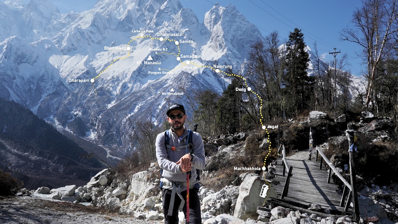
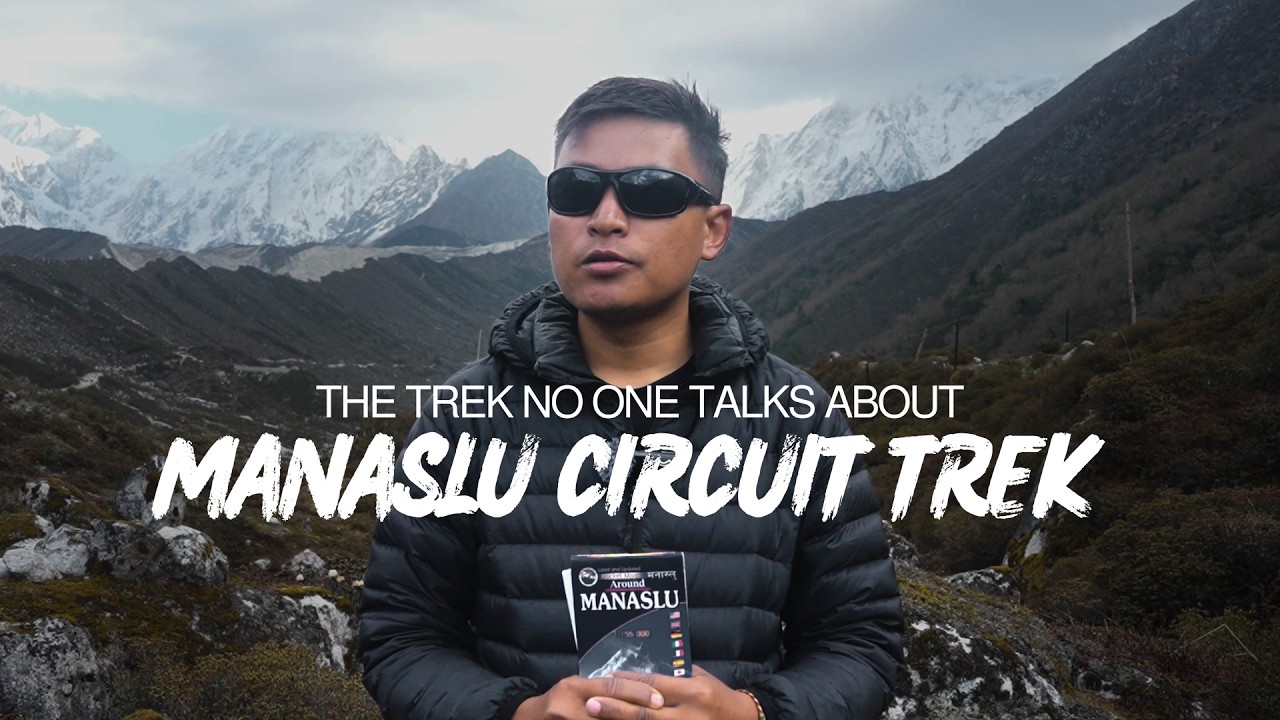
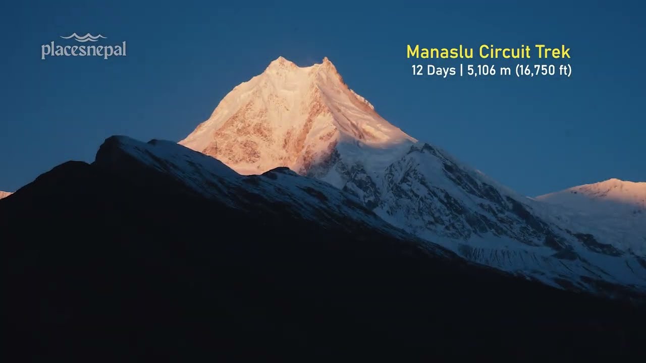
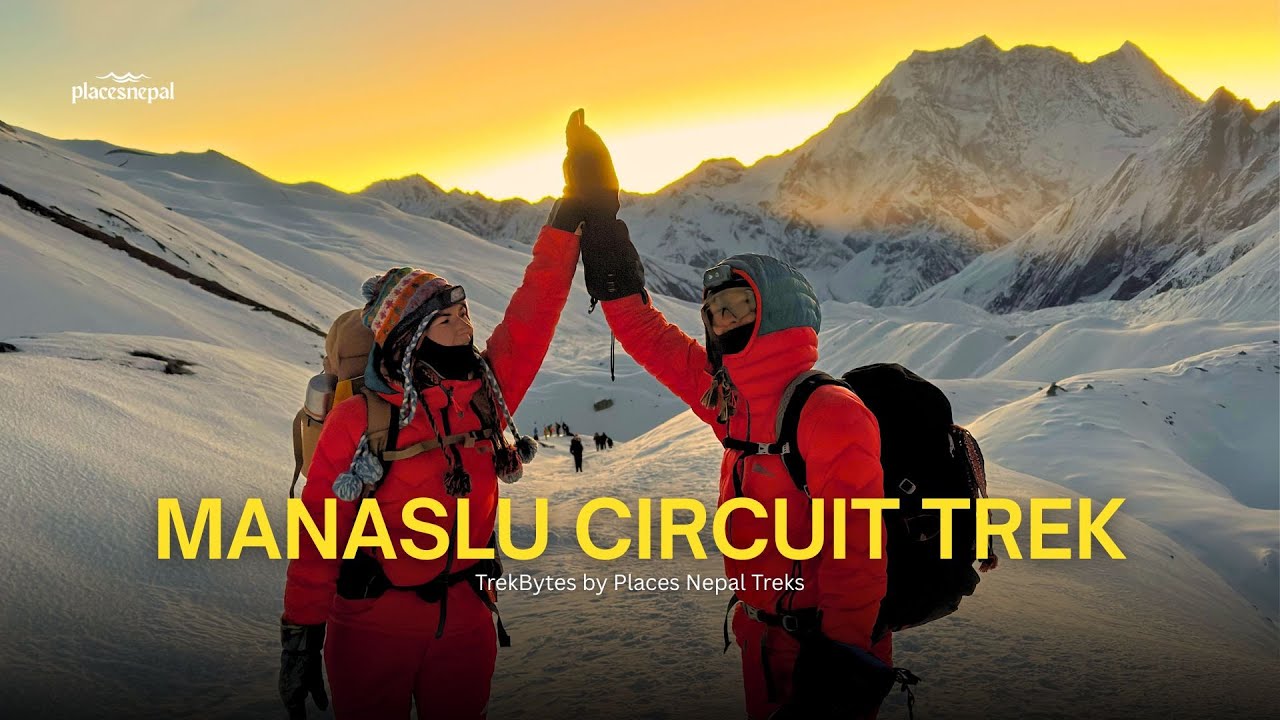
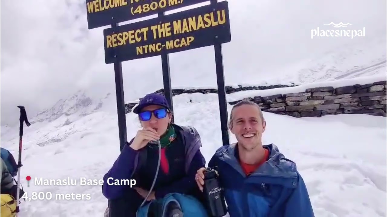
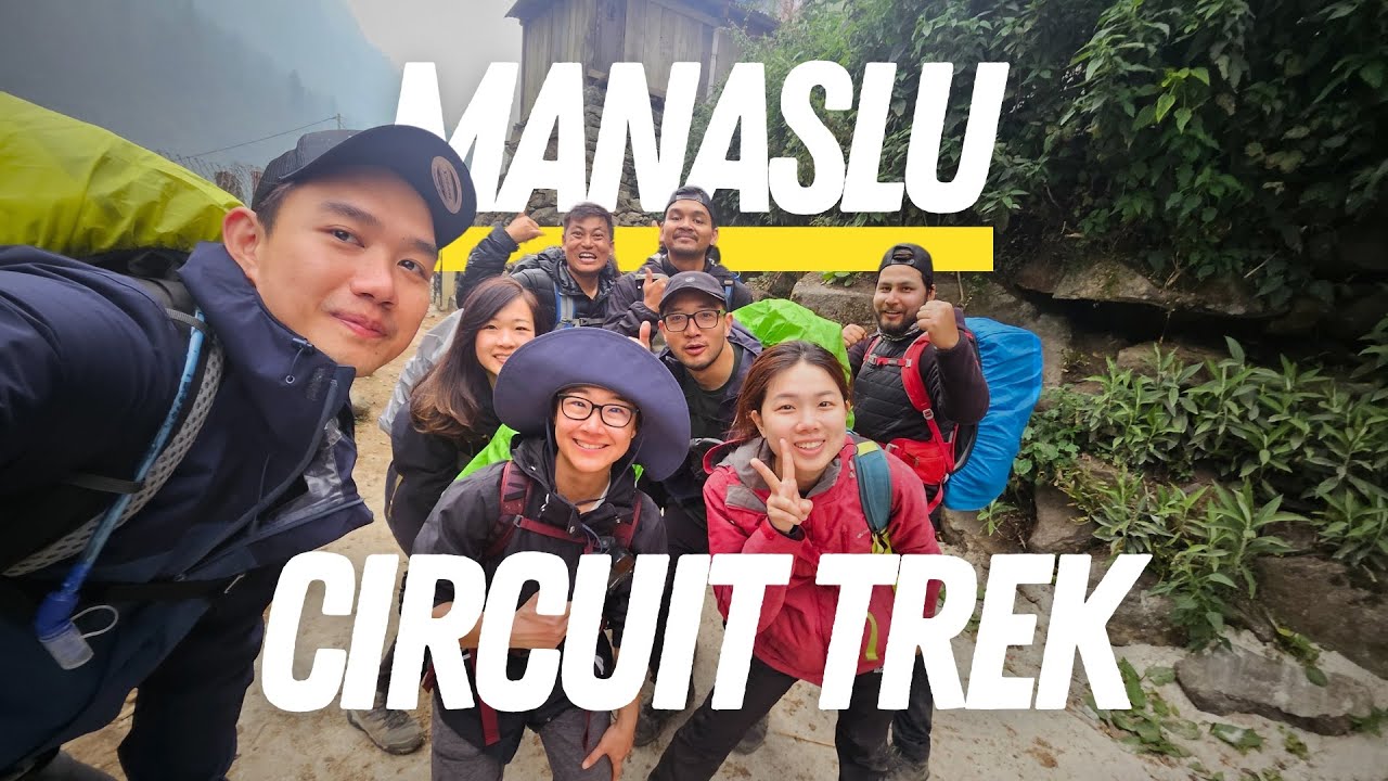
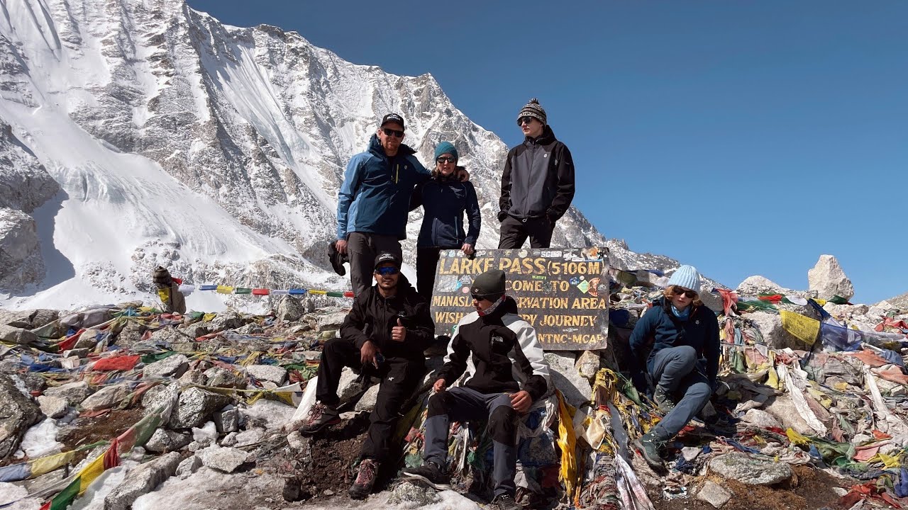
- Manaslu Circuit Trek
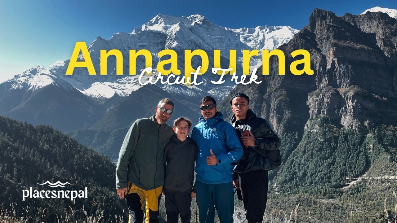
- Annapurna Circuit Trek
- Langtang Valley Trek
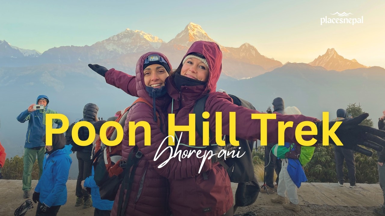
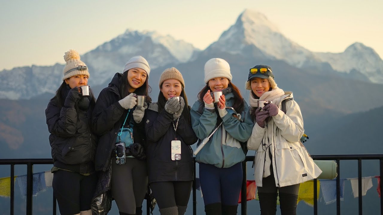
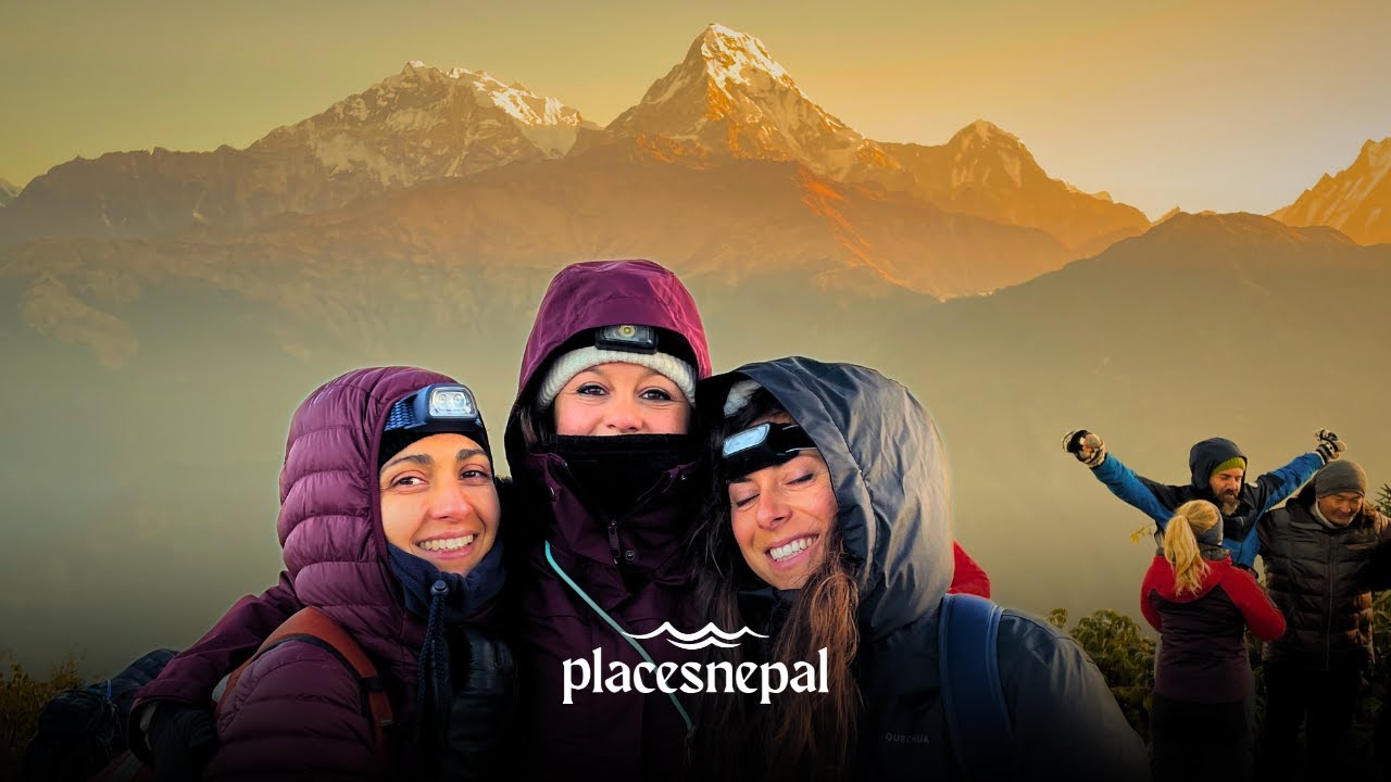
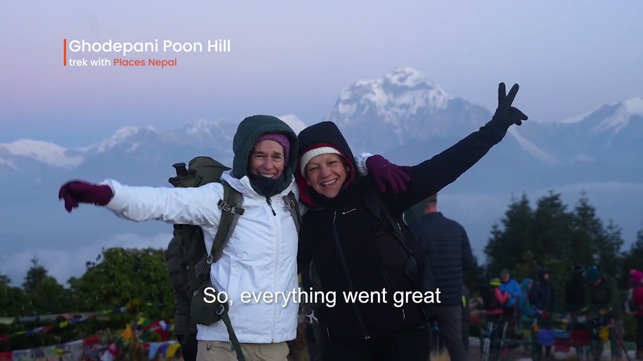
- Ghorepani Poon Hill Trek
- Annapurna Base Camp Trek
- Upper Mustang Trek
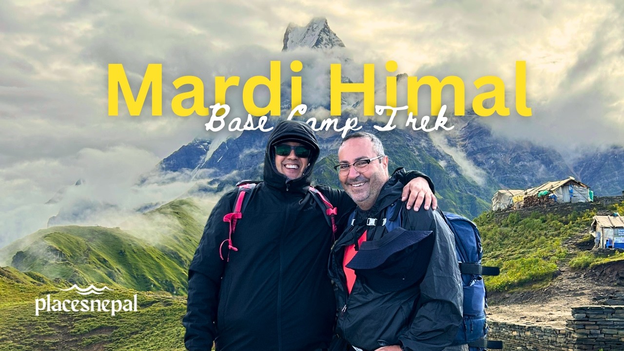
- Mardi Himal Base Camp Trek
- Kanchenjunga Circuit Trek
- Shey Phoksundo Lake Trek
- Everest View Panorama Trek
- Ponker Lake Trek
- Luxury Pokhara Poon Hill Wellness Trek
- Ghorepani Poon Hill Yoga Trek
- Short Ghorepani Poon Hill Trek
- Luxury Everest Base Camp Trek with Helicopter Return
- Gokyo Lakes with Everest Base Camp Trek

 While local Sherpa herders likely ascended the lower slopes for generations, the first official recorded ascent of Lobuche East occurred on 25 April 1984. The summit was claimed by Laurence Nielson and Ang Gyalzen Sherpa.
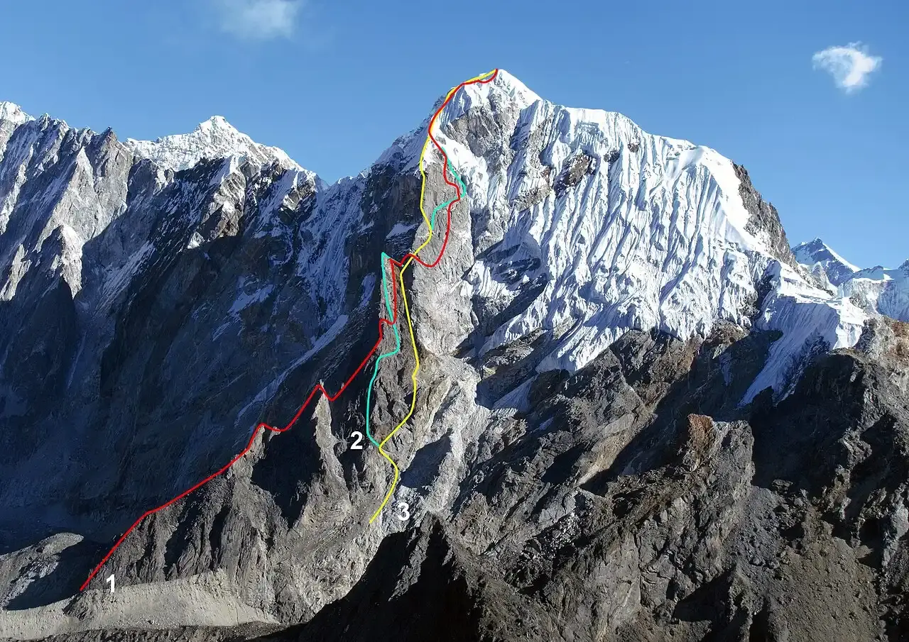 Lobuche East is not a simple "walk-up." It is a technical peak that requires the use of crampons, ice axes, and fixed ropes.
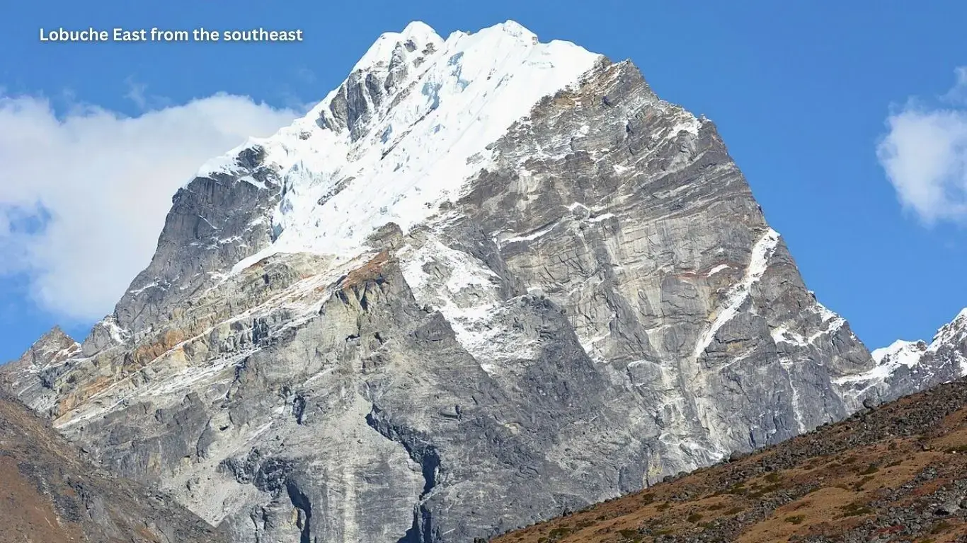
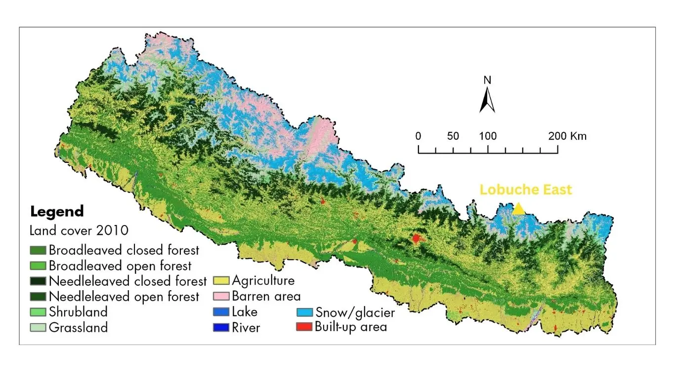
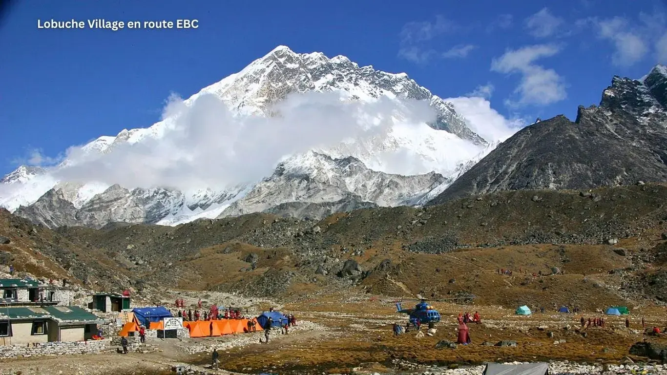 Lobuche East is unique because its trailhead is located directly on the world-famous Everest Base Camp (EBC) Trek.